Objectives of #AI4BetterBLR
Bengaluru is at a critical environmental crossroads. #AI4BetterBLR is a citizen-first movement designed to deploy smart technology, spatial mapping, and open civic collaboration to construct solutions for the city's urgent sustainability and urban challenges.
Citizen-First Data Collection
Crowdsourcing hyper-local spatial data (from footpaths to garbage hotspots) by mobilizing residents to actively report and map their neighborhoods.
AI & Civic Intelligence
Building smart assistants, dashboards, and automated vision algorithms to classify and route civic issues directly to administrators.
Ward-Level Direct Action
Bridging the citizen-government gap by providing ward committees and local civic groups with clean, actionable data to resolve issues.
🚶 Walkathon & Climate Huddle
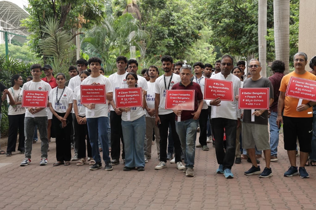
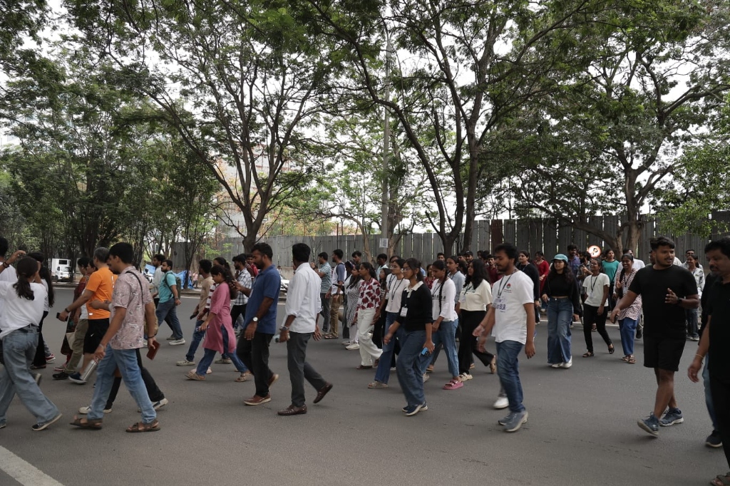
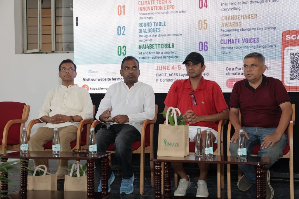
On Saturday, 23 May 2026, we walked the streets of Bengaluru—from CMRIT College Campus up to the Graphite India Junction and back—to gather real-time spatial indicators on sidewalk blockages, pedestrian quality, and illegal dumping vulnerable spots. This data laid the foundation for the AI buildathon.
💻 Vibeathon AI Buildathon
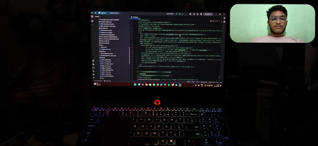
During the 30-31 May 2026 buildathon, developers, urban designers, and community advocates gathered at the CMRIT Innovation Hub and virtually. The mission: build bots, web apps, and companion dashboards utilizing spatial data to strengthen citizen-government coordination.
Walkable Bengaluru
Mapping pedestrian sidewalk blockages and pedestrian infrastructure safety indicators.
Garbage Free Bengaluru
Developing route optimizations, image classifiers, and warning systems for waste dumping hotspots.
ClimateMitra Companions
Creating chatbots and local dashboards that simplify citizen reporting and Ward Committee audits.
Vibeathon Challenge FAQs
- 🎥 Demo Video: Maximum 3 minutes (MP4 format).
- 💻 Code Repository: Public GitHub link.
- 📄 README: A 1-page document explaining the architecture and deployment.
🏆 AI4BetterBLR Showcase Winners
Introducing the outstanding AI-powered solutions recognized by the Bengaluru Climate Summit panel for civic feasibility and technical excellence.


VANAM
An AI-powered eco agent designed to help users find localized vendors for used items and discover green, eco-friendly alternatives. It transforms everyday tasks like donating clothes, recycling electronics, and composting into simple, rewarding, and low-cost green habits, acting as a personal sustainability guide directly in your pocket.
Visit Vanam
Clime
A unified civic climate dashboard built explicitly for Bengaluru. It features real-time AQI tracking, weather forecasts, traffic maps, and an interactive carbon footprint calculator. It also enables citizens to file instant garbage dumpsite reports, interact with a live urban climate digital twin, and access emergency services, providing an all-in-one green city helper.
Launch Clime